Montecito, California (Including a Map)
Wandering past the long drives and dutiful gates found throughout the curvy hills of Montecito, California, we discovered beautiful things that we could have never anticipated.
Like two villages—Montecito’s upper village and Montecito’s lower village.
But I didn’t easily find these villages on a map, and they were a few miles apart, so I’ve included a map of Montecito at the bottom of this page that shows both of these village locations.
Simply put, we enjoyed traveling throughout the Montecito area for several months.
Montecito’s Upper Village
Montecito’s upper village was quietly nestled near the intersection of San Ysidro Road and East Valley Road.
A calm and treed neighborhood village, this upper Montecito village felt like the quaint town where I grew up, but with polish. It was so peaceful, just being there.
This is where we found a small library, church, gas station, post office, and market.
We also enjoyed quiet eateries and shops in the Montecito Village, San Ysidro, and Pierre Lafond buildings…
gf vegan deli food at the Montecito Village Grocery
gf vegan specialty deli food at Pierre Lafond Montecito
browsing sustainable jewelry, linens, and art inside little shops
Montecito’s Lower Village
Montecito’s lower village filled the length of Coast Village Road, between (lower) Hot Springs Road and Olive Mill Road.
This village of small upscale eateries and shops was a bit glitzier and busier, winding parallel to Hwy 101, which made it a bit more robust in volume, as well.
Locals and visitors gathered in lower Montecito for a tad more lively socializing and mingling.
I loved the beautiful public restrooms found on the south side of Honor Market (at the top of the outdoor stairs).
Lower Montecito is where…
we stayed at the vintage and affordable (for the area) Coast Village Inn
we loved eating Oliver’s vegan food (but it’s being replaced)
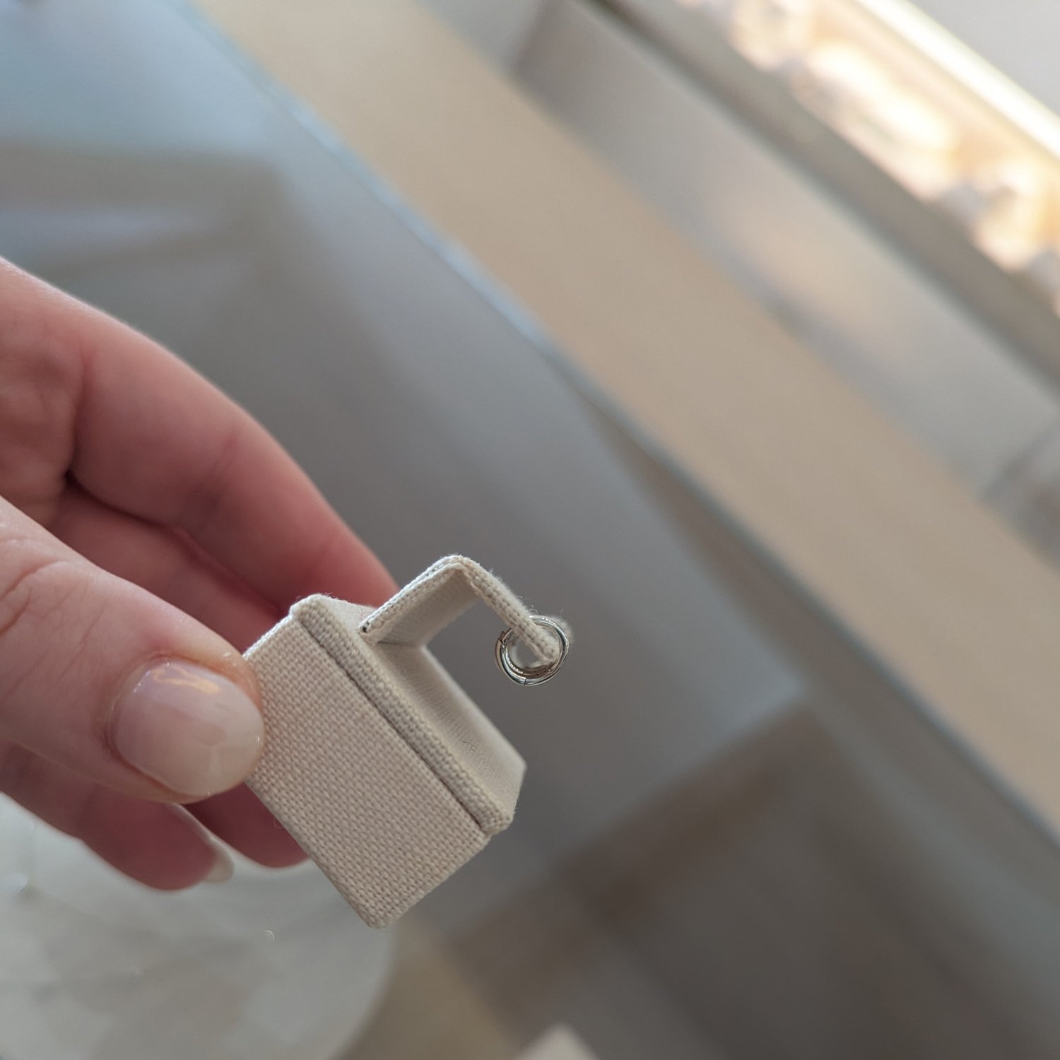
I found locally-made linen clothing “perfect for a safari,” the salesperson whispered
Montecito History
The non-profit Montecito Association, which is involved in the preservation, protection, and enhancement of Montecito, shares the following details, to which I’ve added some links…
“Once rejected as a possible site for Santa Barbara’s Mission … early Montecito was known as a dangerous place, where outlaws and grizzly bears hid in the wooded canyons.
“Yet … this unique and beautiful area has been home to [Indigenous Peoples; the Chumash]…
“Roughly from 1782 to 1846, soldiers of the presidio who reached retirement age were given parcels of land in lieu of … overdue pay … from the mountains to the beach.
“A hotel and spa once welcomed people hoping to find relief for their ailments in the curative waters.
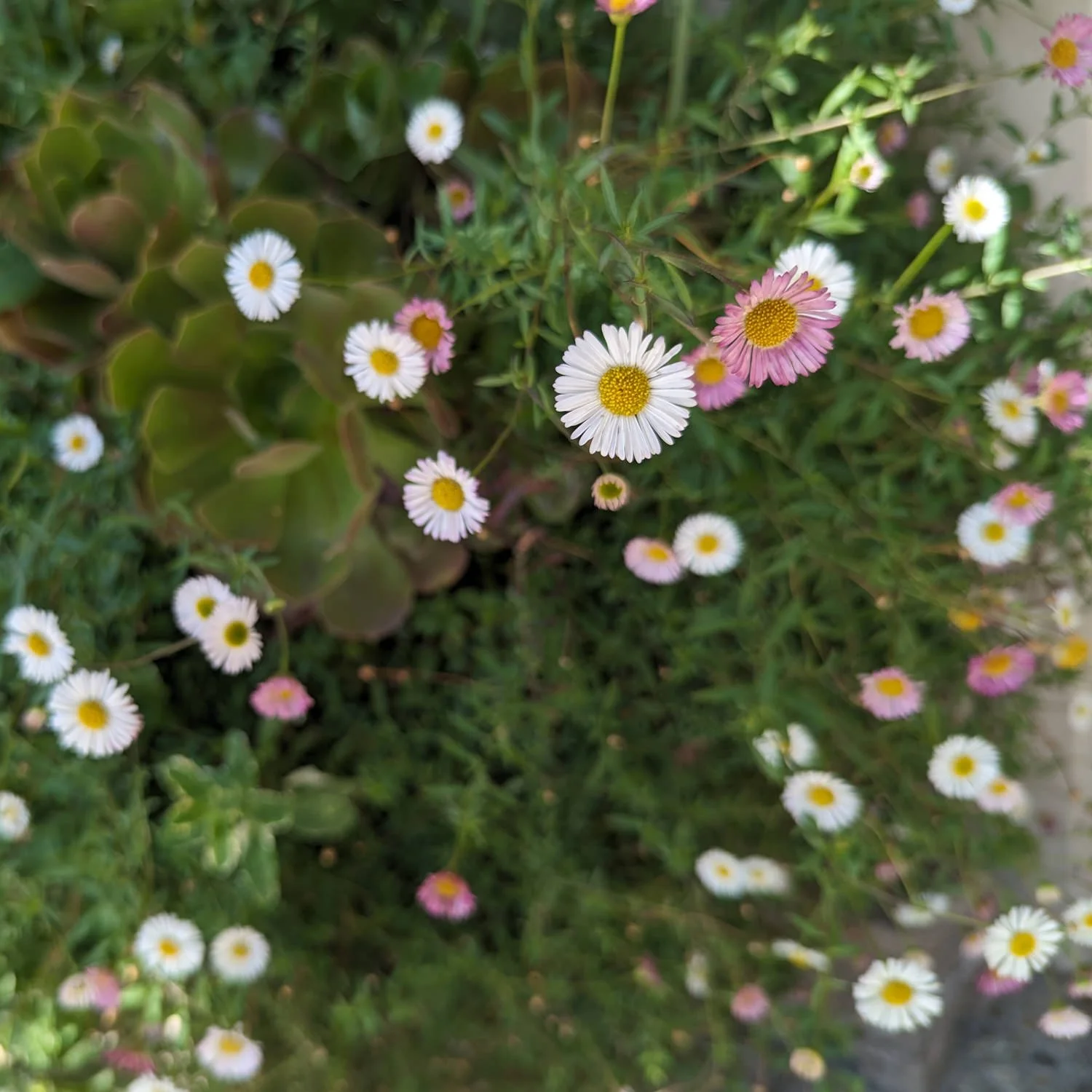
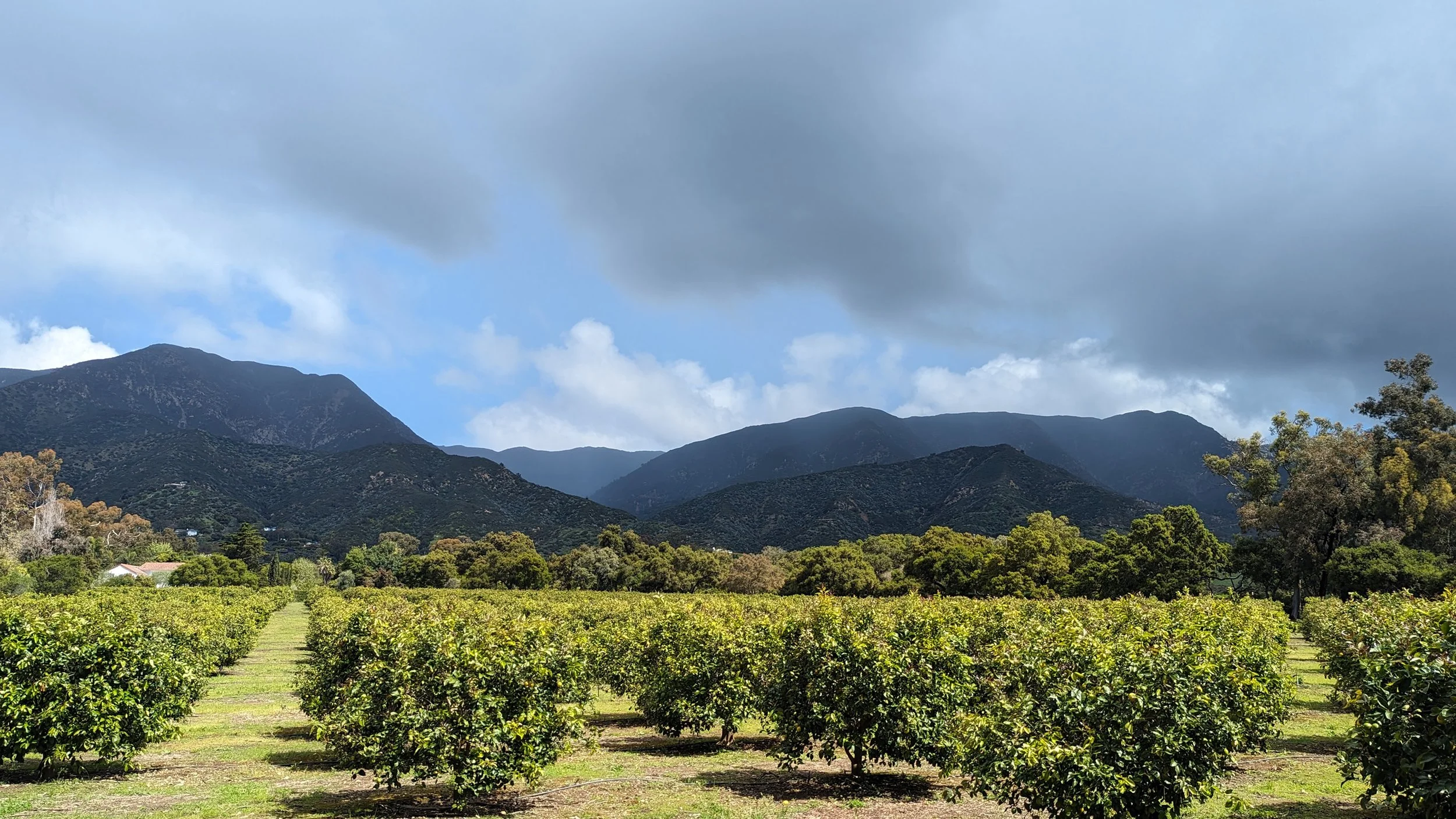
“Horticulturists … found Montecito’s soil, air and climate perfect for growing experimental crops and … the serious cultivation of decorative trees, plants and flowers.
“Santa Barbara’s early tourists … discovered [this] nearby rustic ‘Eden.’”
More in Montecito
Roaming throughout Montecito for several months, enjoying leisurely meals, picking up packages, and visiting the library … had us feeling almost like locals.
We wanted to enjoy Montecito’s trails too, but we didn’t have our bikes, nor close enough lodging to park at, and we had a vehicle that we couldn’t leave at the trailheads.
This means we’d love to return to Montecito so we can explore its trails.